Devanahalli to Electronic City Distance
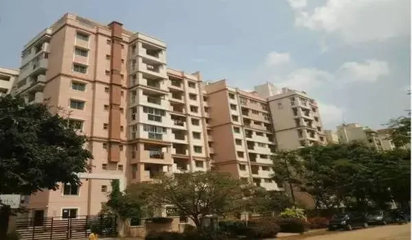
Featured Image of Devanahalli to Electronic City Distance


The Devanahalli to Electronic City distance is 53.5 kilometers via National Highway 44 (NH 44). Driving this path takes 65 to 90 minutes in normal traffic. Devanahalli hosts Kempegowda International Airport in North Bengaluru. Electronic City is a huge tech hub in the south with Phase 1, Phase 2, and Phase 3. Daily drivers use three main roads for this drive across the city. The first path is NH 44 through Hebbal Flyover and Hosur Road. The second path is the Outer Ring Road (ORR) through Marathahalli. The third path is the 67-kilometer Satellite Town Ring Road (STRR/NH 648) bypass. Morning rush traffic between 8:00 AM and 10:30 AM pushes travel time to 110 minutes. Early morning drives take just 55 minutes.

Public buses like the BMTC Vayu Vajra KIA-8 run every 30 minutes. Local MEMU trains run from Devanahalli Station to Heelalige Station near Electronic City in 75 minutes for ₹30. When the Namma Metro Blue Line and Yellow Line open, train rides across the city will take 60 minutes. New home projects along the northern end like Embassy Knowledge Park in Devanahalli are drawing tech buyers who want direct highway access. Checking live traffic maps, toll fees, and bus times helps you plan a fast drive across Bengaluru.


Highway Routes and Real Distance Breakdown


It is 53.5 km from Devanahalli to Electronic City on NH 44. The drive has wide flyovers and 3 toll spots. Head south on Bellary Road past Yelahanka. Cross Hebbal Flyover and go down Hosur Road. Then take the Electronic City Flyover. You can pick three routes based on traffic and your work spot.

  • NH 44 Direct Route (53.5 km): This path goes down Bellary Road, Hebbal Flyover, Mekhri Circle, Hosur Road, and the Electronic City Flyover. You can drive up to 80 km/h on clear stretches.
  • STRR Highway Bypass (67.0 km): This road links Devanahalli to Electronic City through Hoskote and Attibele on NH 648. It adds 13.5 km to your trip, but it helps you avoid city traffic jams.
  • Outer Ring Road Route (58.2 km): This route turns at Hebbal toward K.R. Puram, Marathahalli, and Silk Board before it joins Hosur Road.

Your best choice depends on when you leave, your toll budget, and where your office is in Electronic City. The NH 44 route is best for daytime drives. The STRR bypass helps truck drivers keep a steady speed.

Travel Times by Transport Mode and Hour


Drive from Devanahalli to Electronic City in 55 minutes when roads are clear. Heavy morning traffic can stretch the trip to 110 minutes. Your total drive time depends on your start time, your ride, and flyover use. Travel times change fast between work hours and late-night trips.

Option / Vehicle Type Off-Peak Time Peak Traffic Time Main Route Taken Toll or Ticket Cost
Private Car / Cab 55–65 mins 90–110 mins NH 44 via Elevated Expressway ₹85 (Flyover Toll)
BMTC Vayu Vajra Bus 95–110 mins 120–140 mins KIA-8 via Hebbal & Silk Board ₹260 per seat
Two-Wheeler Ride 70–80 mins 90–105 mins NH 44 Surface Roads ₹0 (No Toll)
STRR Bypass Road 70–75 mins 80–90 mins NH 648 via Hoskote & Attibele ₹110 (STRR Toll)

Cars taking the Electronic City Elevated Expressway cut out 20 to 25 minutes of surface traffic during busy morning hours. Midday travel from 11:30 AM to 3:30 PM gives you clear lanes on Bellary Road and Hosur Road.

Public Transit Options: BMTC Buses, Metro, and Rail


BMTC Vayu Vajra KIA-8 buses run direct 53.5 km trips between Devanahalli and Electronic City every 30 minutes. A bus ticket costs ₹260. Public transport gives daily workers an easy way to travel without the stress of driving across town.

  • BMTC Airport Bus (KIA-8 Series): Direct air-conditioned Volvo buses link Electronic City Phase 1 and 2 to Kempegowda Airport in Devanahalli.
  • Namma Metro Link: The Phase 2B Airport Blue Line from Devanahalli links to the Yellow Line at Central Silk Board for fast rail travel.
  • Suburban Rail (SWR): Local MEMU trains travel from Devanahalli Station (DHL) to Heelalige Station (HEE) near Electronic City in 75 minutes at ₹30 per ticket.

Local MEMU trains are the cheapest way to travel along this path. Once Metro lines open fully, riders will get smooth trips that bypass road traffic completely.

Housing Connection: Embassy Knowledge Park in Devanahalli


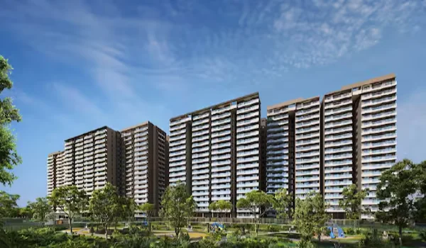
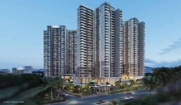
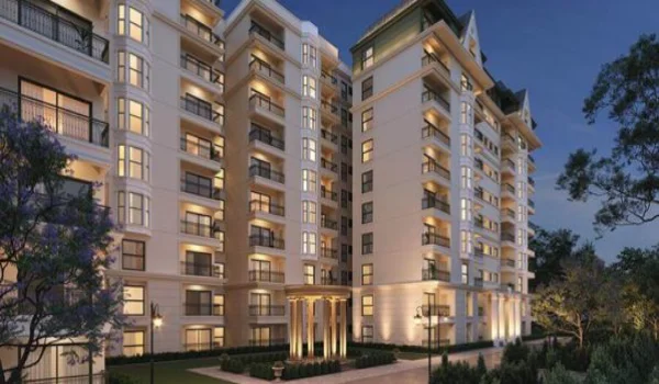
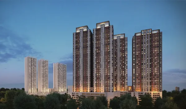
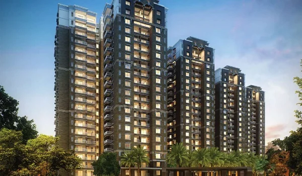
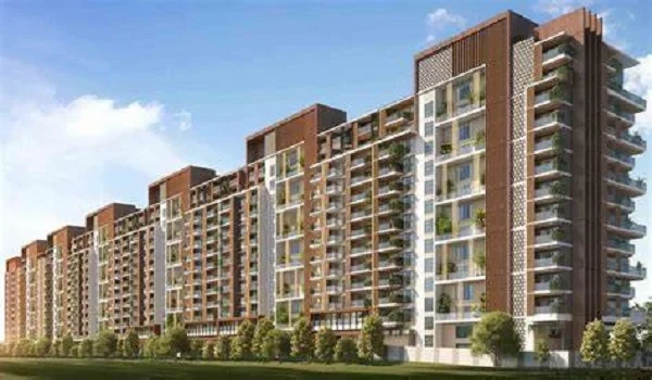
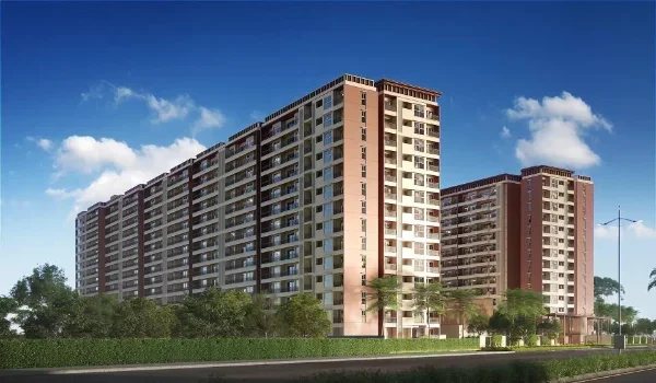
Embassy Knowledge Park is a 200-acre residential township in Tharahunise near Devanahalli. It has a proposed Phase 1 launch date of August 2026 and a target possession date of August 2031. Set near the NH 44 airport corridor, this project gives simple highway access to tech workers who commute the 53.5 km path between North Bangalore homes and Electronic City offices.

  • Land Area and Master Plan: Phase 1 covers 64 acres of the 200-acre land parcel. It offers 4 tall towers (2B + Stilt + 17 Floors) with 855 apartments alongside a 50-acre villa area with 217 homes.
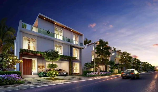
  • Home Types and Sizes: Offers 2, 2.5, 3, and 3.5 BHK apartments from 1,330 to 2,250 sq. ft. It also has 4, 4.5, and 5 BHK villas from 4,200 to 6,800 sq. ft.
  • Prices and Costs: Apartment prices start at ₹1.76 Crore. Large luxury villas start at ₹10 Crore or more along Bellary Road.
  • RERA Status: Karnataka RERA approval is applied for and pending registration. Builders plan full construction across 5 years from launch.
  • Location Link: Sits 13 km from BLR Airport and 3 km from the STRR bypass. This gives owners a direct road path to Silk Board and Electronic City.

The township plans 75% open space, an on-site IT park, a Grand Clubhouse, and 40 lifestyle features. Living in Devanahalli lets buyers own a home in a fast-growing hub while keeping good links to southern job zones.

Traffic Bottlenecks and Driving Tips


Silk Board Junction adds 25 to 40 minutes of wait time for drivers during peak morning and evening travel shifts. Simple habits make your commute easier and save fuel over long distances.

  • Take the Elevated Tollway: Bypasses surface traffic at Madiwala and Bommanahalli. It saves 25 minutes for an ₹85 toll fee.
  • Leave Early or Late: Start your drive before 7:15 AM or after 10:00 AM to cover 53.5 km in under 60 minutes.
  • Use the STRR Bypass (NH 648): Drive around city traffic jams via Hoskote and Attibele to keep a steady speed of 80 km/h.
  • Check Live Maps: Look at traffic near Hebbal Flyover and Tin Factory before picking your route each morning.

Planning your drive time around daily rush hours keeps your travel simple and predictable. Paying for elevated toll roads saves precious minutes when you need to reach your destination on time.

FAQs


1. What is the exact driving distance from Devanahalli to Electronic City?

The exact road distance from Devanahalli to Electronic City is 53.5 kilometers via the main NH 44 highway path.

2. How long does the drive take between Devanahalli and Electronic City during peak hours?

Driving during morning or evening peak hours takes 90 to 110 minutes, while off-peak drives take 55 to 65 minutes.

3. Which BMTC bus goes directly from Devanahalli to Electronic City?

BMTC Vayu Vajra KIA-8 series AC buses offer direct trips between Kempegowda Airport in Devanahalli and Electronic City Phase 1 and 2 every 30 minutes.

4. Is taking the Satellite Town Ring Road (STRR) faster than NH 44?

The STRR route is 67 kilometers long (13.5 km longer than NH 44), but it lets you skip inner-city gridlock by keeping steady highway speeds.

Enquiry
Enquire Now